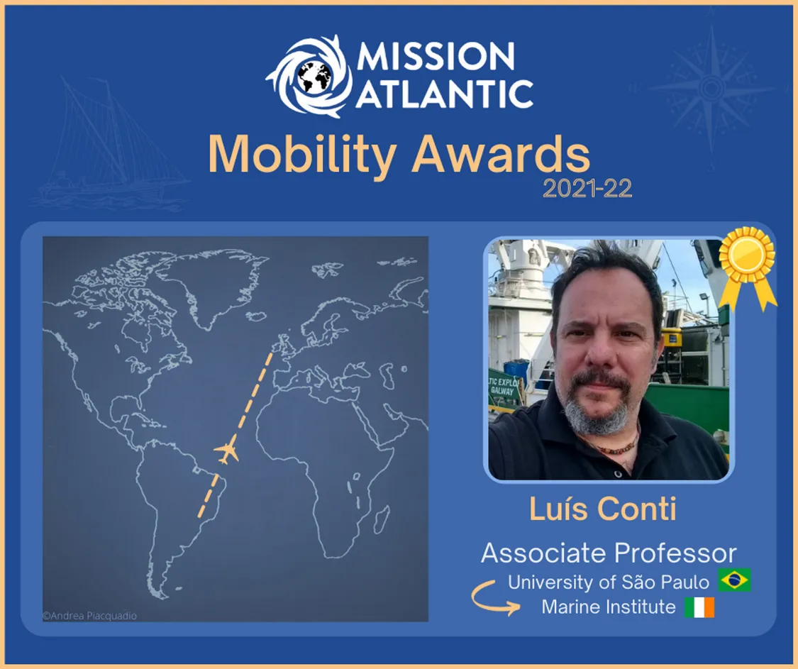
Luís Conti
I work as Associate Professor of Earth Sciences and Science Education at the School of Arts, Sciences and Humanities (EACH) - University of São Paulo.
My research is concerned with the application of geotechnologies (Remote Sensing and Geographic Information Systems) in the characterisation of marine and coastal habitats. I have a special interest in innovative machine learning and artificial intelligence techniques applied in benthic habitat mapping in cold-water coral reefs and biogeochemical modelling in marine and coastal wetlands ecosystems (e.g. mangroves) and anthropogenic impacts on climate change. I also participate in research on the development of Spatial Data Infrastructure (SDI) applied to actions of coastal management and marine spatial planning. I also have a special interest in teaching and dissemination of Earth Sciences.
As a researcher in MISSION ATLANTIC, I am actively involved in the seabed mapping and benthic habitat modelling (linked to Working Package 4) and I also contribute with two case studies (South Brazilian Shelf and the Celtic Sea). Specifically, during this mobility period, I intend to establish methodological bridges between the different regions searching for common grounds that can contribute to a better understanding of the processes and pressures acting on the Atlantic benthic systems.
This is a key aspect in the context of the MISSION ATLANTIC project, as there are different areas in the Atlantic (focused case studies) that have significant differences with respect to bathymetric data resolutions and complementary data quality (e.g. sediment, biological samples)
To find out more about my work, you can visit my website.