During the last four years, MISSION ATLANTIC has been promoting Open access practices and the creation of FAIR (Findable, Accessible, Interoperable and Reusable) data. Through collaborative effort and innovation, the project has made available publications and comprehensive catalogues of scientific data freely accessible. Scientists, policymakers, and stakeholders can find, visualize, obtain the data created in the project and provide feedback about it. Various resources to provide access to this data were used and created.
A central metadata catalogue, the Integrated Marine Information System (IMIS), contains the records of datasets and publications produced during the project (IMIS | Vlaams Instituut voor de Zee). Through this catalogue, users can access the original archived datasets via the Marine Data Archive (MDA). The data generated is being integrated to major Marine European and Global Data portals: the Ocean Biodiversity Information System (OBIS) through its European and Brazilian Regional Node, and the European Marine Observation and Data Network (EMODnet).
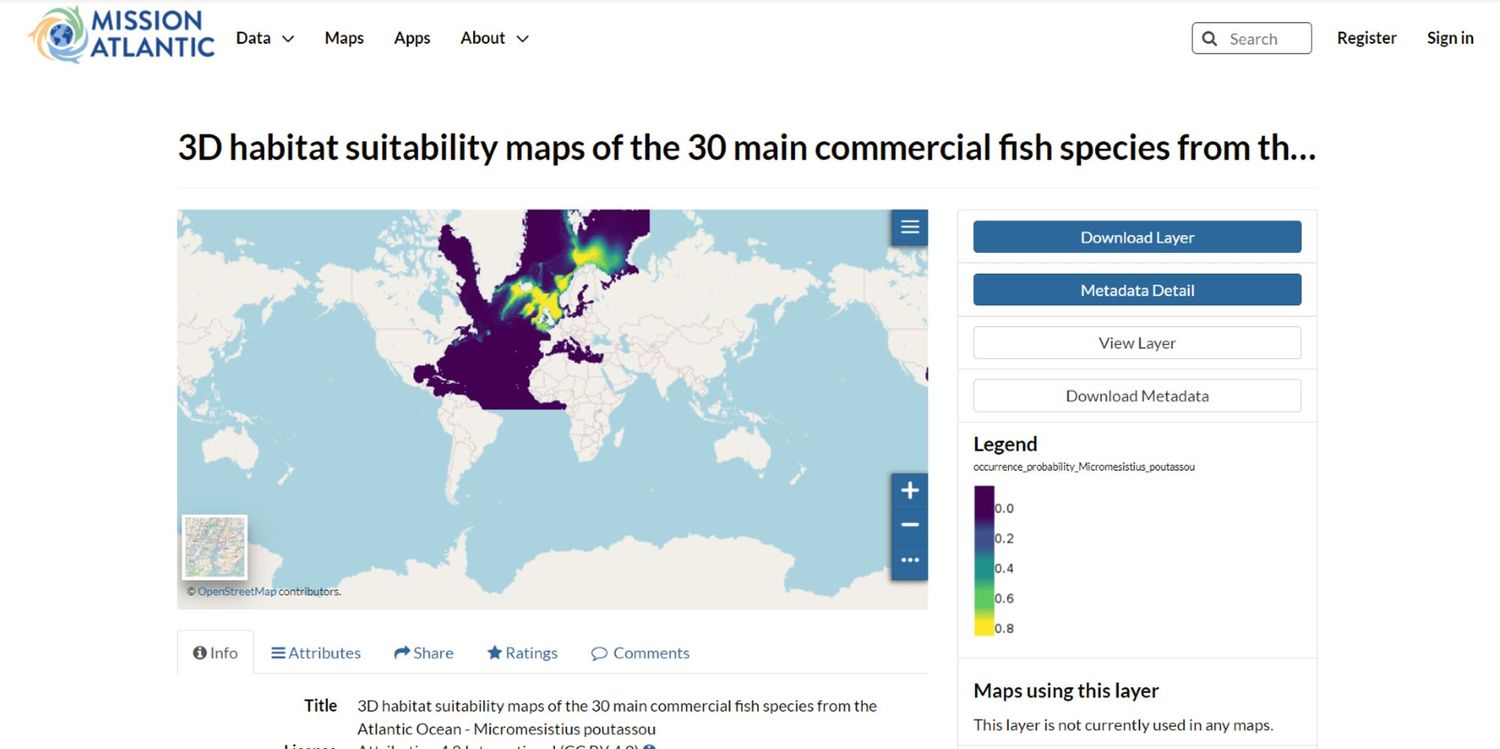
With regards to spatial data products, the MISSION ATLANTIC GIS platform (MISSION ATLANTIC GeoNode) contains datasets created by the work packages and case studies. The tool allows for the discovery of data products, visualization, and access to them over the web using Open Geospatial Consortium (OGC) protocols. The GeoNode has been published on the EMODnet website, and different data products are in the process of being adopted as EMODnet data products.
Mission Atlantic will continue to share its data resources with the community, follow the project for more updates in the coming months!